Navigation has come a long way since the days of the first major explorers at sea who navigated using the sun and stars to find new territories.
It wasn’t until the mid-18th century that the problem of longitude was solved either when John Harrison's timekeeping devices changed nautical history at the same time as Captain Cook was exploring and mapping the Pacific, Australia and New Zealand.
When Clipper Race Founder and Chairman Sir Robin Knox-Johnston sailed round the world solo in 1968-69 he could only use traditional methods of navigation alone. Even though man was landing on the Moon during the same time period, Sir Robin used paper charts and a sextant, which uses the sun and stars to navigate.
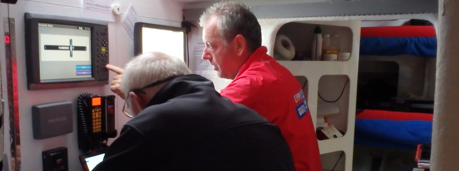
Today, navigation is a highly sophisticated business. The Clipper 70s are bristling with computer power, instruments and software to provide accurate positioning and competitive route planning for the 40,000 nautical mile circumnavigation.
The skippers have been given their navigational instrument training by the Clipper Race’s Official Marine Electronics Partner, Garmin.
Each of the 12 Clipper 70s are currently being fitting with the latest Garmin sailing and navigational instrument software to guide the teams via satellite round the world. Garmin is the world’s leading manufacturer of marine electronics and satellite navigation equipment.
The skippers were shown the capabilities of the products such as the log, depth and wind sensor as well as calibration methods and where all the components of the products are located on the boat.
Bob Fry, Marine OEM Product Support Manager for Garmin led the skipper training. He said: “The Q and A session mostly focused on the calibration and maintenance of the sensors and basic checks to do if there are problems at sea. I emphasized that calibration and good housekeeping is time well spent before the race starts and at each stopover.
“There was some good banter between the skippers - mostly on how to rig the instruments on the opponents’ boats. The race has already started!”
Despite the advanced technology, Clipper Race crew are also taught the traditional methods and often like to see how close their own calculations can come to the satellite-aided location data.
And occasionally they must rely on more traditional methods to navigate.
In the Clipper 2013-14 Race, Qingdao's navigation and communication systems went down after the yacht was struck by lightning in the Pacific Ocean during Leg 6.
While the systems were being restored the yacht used its backup hand-held GPS, paper charts and NUC lights rigged up in the galley for lighting at night.
The skippers will have access to the latest Garmin products including:
- GPSMAP6012
- VHF2001 c/w cockpit handset
- AIS600
- 5 x GMI10 marine instruments
- GMR24xHD radar
- 2 x GNX130 cockpit displays
- GNX wind system
